01
Construction Progress Monitoring
Repeatable aerial documentation to track site development and maintain a clear visual project history.
Aerial mapping, construction progress monitoring and site documentation designed to give construction companies and developers a clearer view of their projects.
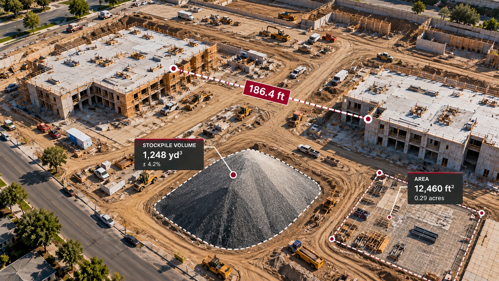 CONCEPTUAL DATA VISUALIZATION
Repeatable aerial documentation to track site development and maintain a clear visual project history.
High-resolution georeferenced aerial maps for planning, documentation and project visibility.
Detailed site models for visualization, measurement and analysis.
Aerial data collection for stockpile volumes and material tracking over time.
High-resolution aerial photos and video for progress records, reporting and project communication.
Turning repeatable aerial capture into useful information for project teams and decision makers.
Action Aerial Data is building an online platform for project viewing, historical flight data, maps, documentation and reporting. In the meantime, we're available to discuss upcoming projects and recurring aerial data needs.
Interested in using aerial data on your next project? Contact Action Aerial Data to discuss your site and project needs.